
LiDAR & Point-Cloud Processing
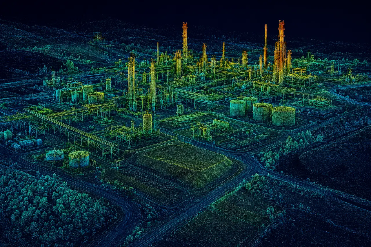
Point-cloud organization and cleanup, classification support, registration assistance, bare-earth terrain extraction, and documented QA.
LAS/LAZ • TERRAIN • CLASSIFICATIONView processing scope →FOR ENGINEERING FIRMS • GEOSPATIAL PRIMES • CONTRACTORS
Hand off defined LiDAR, terrain, CAD/GIS, UAS-processing, or construction quantity tasks. Wise Geospatial supports project teams with scoped technical deliverables, client-directed standards, and remote production nationwide.
WORK PACKAGES
From one dataset to a recurring overflow assignment, define the inputs, deliverables, technical specifications, and review cycle before work starts.
Point-cloud organization and cleanup, classification support, registration assistance, bare-earth terrain extraction, and documented QA.
LAS/LAZ • TERRAIN • CLASSIFICATIONView processing scope →CAD linework, mapping exhibits, GIS features, asset inventories and source-data organization using your templates and naming standards.
DWG/DXF • GIS LAYERS • QAView CAD/GIS scope →Stockpile volumes, grading and surface-change comparisons, cross-section exhibits, and recurring quantity-support packages.
CUT/FILL • STOCKPILES • PROGRESSView quantity scope →Aerial site documentation in the regional service area plus processing of client-supplied imagery into georeferenced mapping products.
ORTHOMOSAICS • PHOTOGRAMMETRY • UASView UAS scope →COLLABORATION MODEL
No vague handoffs. We agree on data access, scope boundaries, delivery formats, review responsibilities, and acceptance criteria.
Share project objectives and non-sensitive sample inputs. Identify necessary coordinate basis, standards, target files and due date.
Agree on deliverables, assumptions, data exchange, QA checks, revisions, and a mutually workable schedule.
Receive organized files, a delivery manifest, notes about exceptions, and the scoped production package for your review.
Professional land surveying and engineering, including sealed deliverables and boundary determinations, are not independently offered by Wise Geospatial. Any regulated work requires the appropriate licensed entity and oversight.
REQUEST A WORK PACKAGE
Start with a brief scope. No proprietary datasets or confidential files are needed for an initial conversation.
Direct contact:COMMON QUESTIONS
Yes, when the supplied data, metadata, formats and quality requirements are sufficient. Scope and acceptance criteria are set before production starts.
Yes. Individual work packages and recurring workload support can both be discussed, subject to current capacity and agreed scheduling.
No. Wise provides non-regulated field documentation and geospatial technical production. Boundary determinations, sealed plans, and other regulated services must be performed through appropriately licensed professionals and entities.
Examples may include LAS/LAZ, DWG/DXF, georeferenced imagery, surfaces, GIS data, and PDF exhibits. Supported file formats, coordinate systems and standards are confirmed for each assignment.