SAN ANTONIO • UAS CAPTURE • SITE DOCUMENTATION
Capture the site.
Keep the project moving.
Wise Geospatial provides FAA Part 107 aerial capture, repeatable site documentation and photogrammetry support for construction, property and infrastructure teams across San Antonio and South Texas.
FAA Part 107100+ UAS projects48–72 hr typical turnaround
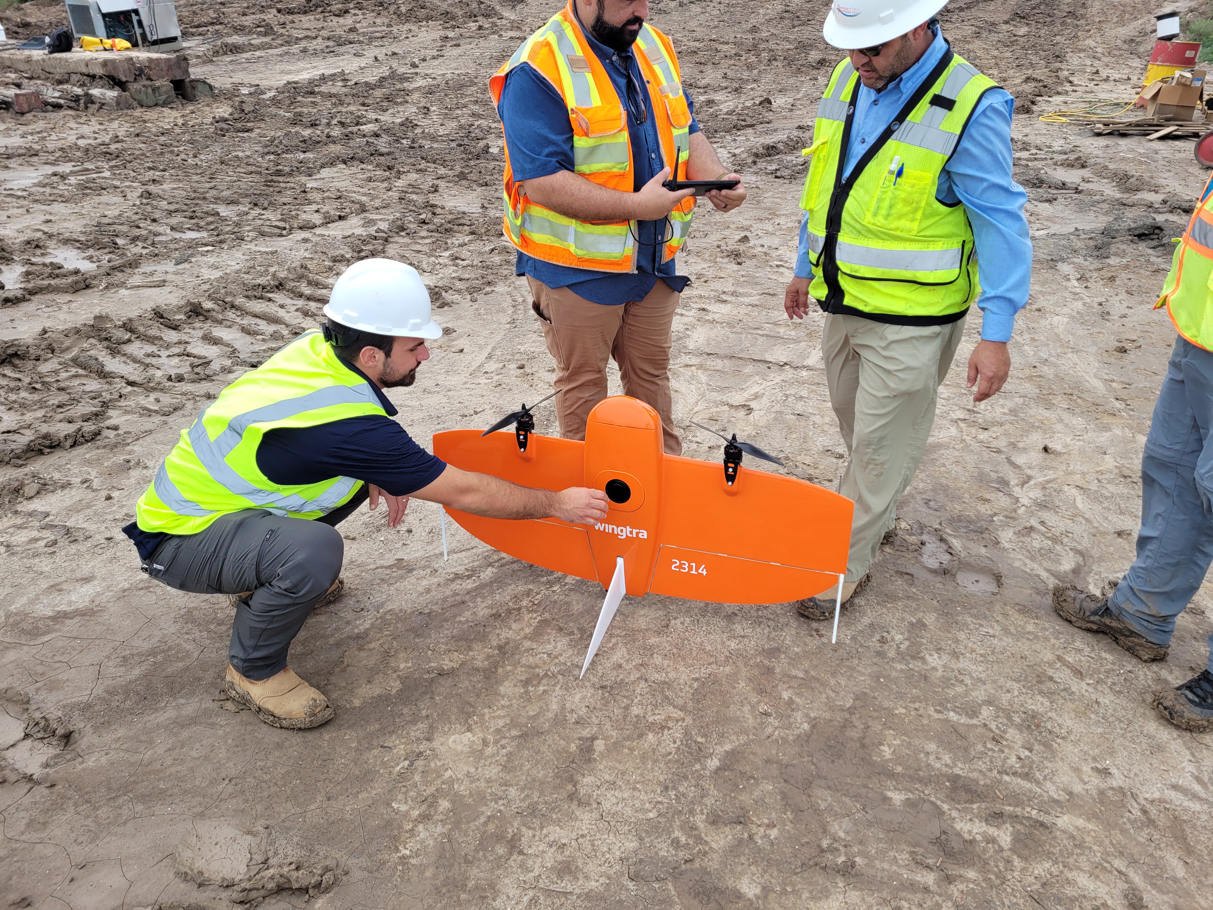
FIELD CAPTURE + DELIVERYOrganized imagery and spatial outputs for the next decision.
PROGRESS CAPTUREAERIAL SITE RECORDSORTHOMOSAIC SUPPORTPHOTOGRAMMETRY
START WITH THE DECISION
One site visit. Useful outputs for the team.
Capture is scoped around the information your team needs to communicate, compare or process—not just around flight time.
01Construction Progress & Site Records
Create repeatable aerial views of work areas, access, materials, drainage and visible site change for owner, contractor and remote-team review.
- Repeatable overview and detail viewpoints
- Organized date-based photo sets
- Progress-ready web, PDF or shared-folder delivery
02UAS Mapping & Photogrammetry Support
Capture and process imagery into project-ready visual context, with deliverables scoped to the available control, accuracy needs and downstream workflow.
- Orthomosaic and 3D-model support
- Site context and change comparisons
- Files organized for GIS, CAD or technical review
03Property, Roof & Facility Documentation
Document accessible visible conditions, rooftops, façades, parking, circulation and overall site context without requiring a roof walk or another field visit.
- High-resolution aerial and ground image sets
- Targeted visible-condition perspectives
- Organized evidence for remote review
WHAT A GOOD REQUEST INCLUDES
A capture plan built for the job—not a generic flight.
Share the project location, intended audience, target date and the features or decisions that matter. Wise will recommend the smallest useful field and delivery scope.
Send the project basics →
01Location & accessSite address, access constraints, on-site contact, active work areas and any sensitive areas.
02Decision to supportProgress meeting, remote review, marketing, condition record, quantity workflow or technical processing.
03Priority featuresWork fronts, roof areas, access roads, stockpiles, equipment, drainage or other conditions to capture.
04Delivery formatHigh-resolution images, web-ready media, organized folders, GIS/CAD support files or a defined review exhibit.
COMMON QUESTIONS
UAS mapping and site-documentation FAQ.
What is the difference between drone documentation and a land survey?Drone documentation records visible conditions and imagery. It is not a boundary survey, certified map or regulated accuracy deliverable unless the work is performed within the required licensed survey structure.
What files can a project team receive?A scope can include organized high-resolution images, repeatable progress views, web-ready media, orthomosaic or 3D-model support, and files packaged for GIS, CAD or technical review.
How quickly can site documentation be delivered?Many standard capture packages are delivered within a typical 48–72-hour window after a successful flight, depending on site access, airspace, weather and processing scope.
What is needed before a mapping-support flight?Send the location, target date, intended use, site access/contact, priority features, required deliverable and any available control or accuracy requirement.
CLEAR SERVICE BOUNDARIES
Useful visual and spatial support—without overstating what it is.
Wise Geospatial provides UAS capture, imagery, documentation and spatial-data production support. Deliverables document visible conditions and supplied project information; they do not provide a land survey, engineering design, roof certification, inspection, appraisal or legal boundary opinion.
Where licensed survey control, regulated accuracy, boundary determination or professional certification is required, work is performed only within the appropriate licensed structure.
PLAN A CAPTURE
Send the location and the question the site needs to answer.
We will return a practical capture plan, deliverable recommendation and clear project scope.
15-MINUTE INTRO CALLTalk through the site and capture goal.Choose a time to review access, timing, coverage and the deliverables the project actually needs.View Available Times