
REPRESENTATIVE TECHNICAL WORK PACKAGES

From complex datasets to useful project deliverables.

Explore the workflows, technical outputs, and quality checks that contractors, engineering teams, and geospatial primes can scope with Wise Geospatial.

Sample transparency: The visualizations below are demonstrations of possible deliverables, not a portfolio of awarded client contracts or proof of completed engagements. They do not imply surveyed accuracy or professional certification. Client-specific examples will be added only when authorized and validated.

SELECTED WORKFLOWS

Clear inputs. Defined processing. Usable outputs.

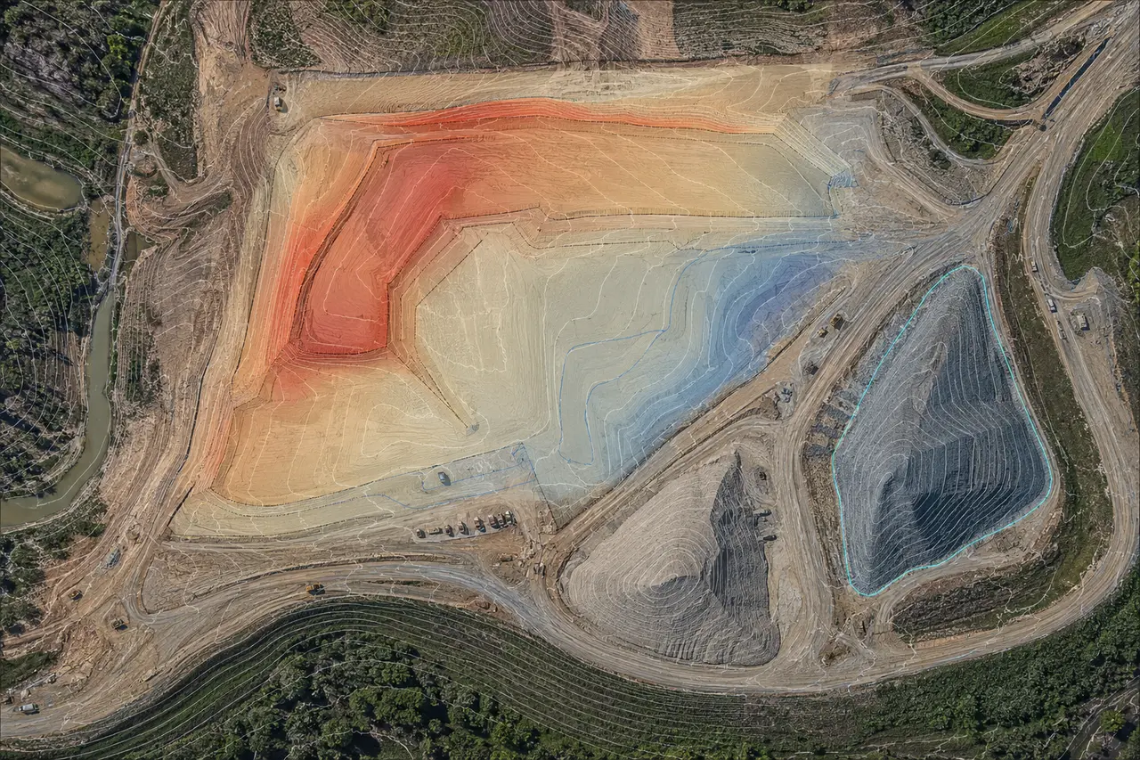
Illustrative orthophoto with cut-fill regions and stockpile surface outlines

01 / CONSTRUCTION & MATERIALS

Earthwork quantities & progress comparisons

Repeatable capture and surface comparison packages designed to support contractor quantity reviews, stockpile monitoring and grading discussions.

Typical inputsTime-stamped imagery, control information, surface files, site extents and agreed reference surface.
Possible outputsOrthomosaic, surface models, cut/fill or stockpile summary, cross-sections, annotated review exhibit.
Scope & quality checks

Align measurement limits, units, coordinate basis, source dates, surface boundaries, voids and exclusions before calculation. Quantities are for agreed project support uses, not a substitute for independent professional certification.

Explore quantity tracking →
Illustrative industrial LiDAR point cloud visualization

02 / LIDAR & REALITY CAPTURE

Point-cloud production & terrain extraction

A structured handoff for survey, engineering and mapping teams that already have scan or LiDAR data and need production capacity.

Typical inputsLAS/LAZ or scan files, control and metadata, classification rules, coordinate system and project standards.
Possible outputsOrganized point cloud, classification support, ground surface, contours, data QA and file delivery manifest.
Scope & quality checks

Check units, coordinate reference, extents, point density, classification exceptions and completeness. Registration and accuracy requirements must be agreed with the licensed or responsible project team where applicable.

Explore point-cloud production →
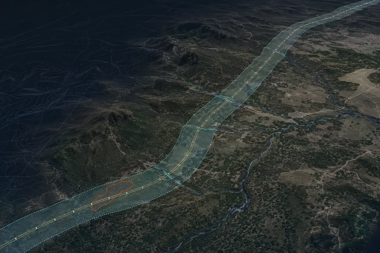
Illustrative utility right-of-way corridor mapping visualization

03 / CORRIDORS & INFRASTRUCTURE

ROW mapping & GIS production support

Convert existing imagery, alignment and asset records into organized exhibits and GIS data for project coordination.

Typical inputsAlignment or route data, GIS features, imagery, existing record documents and deliverable schema.
Possible outputsCorridor mapping exhibits, GIS layers, CAD linework, indexed features and organized supporting files.
Scope & quality checks

Document source provenance, coordinate systems, feature attributes, discrepancies and items requiring field or professional verification. Mapping support does not establish property boundaries or legal rights.

Explore CAD/GIS services →
Have a scope or sample dataset?

Start with one defined production package and an agreed file specification. Explore subcontracting support.

Discuss a Work Package